Street View


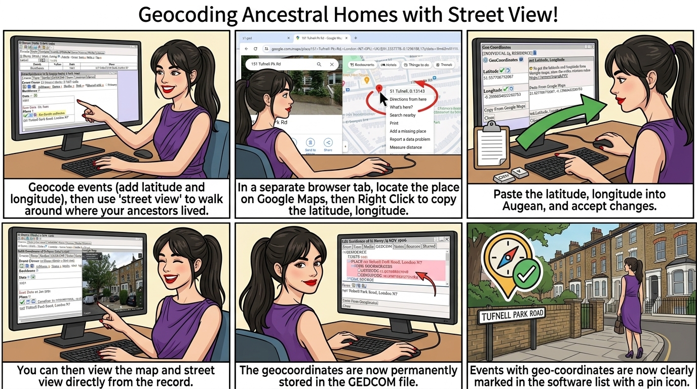
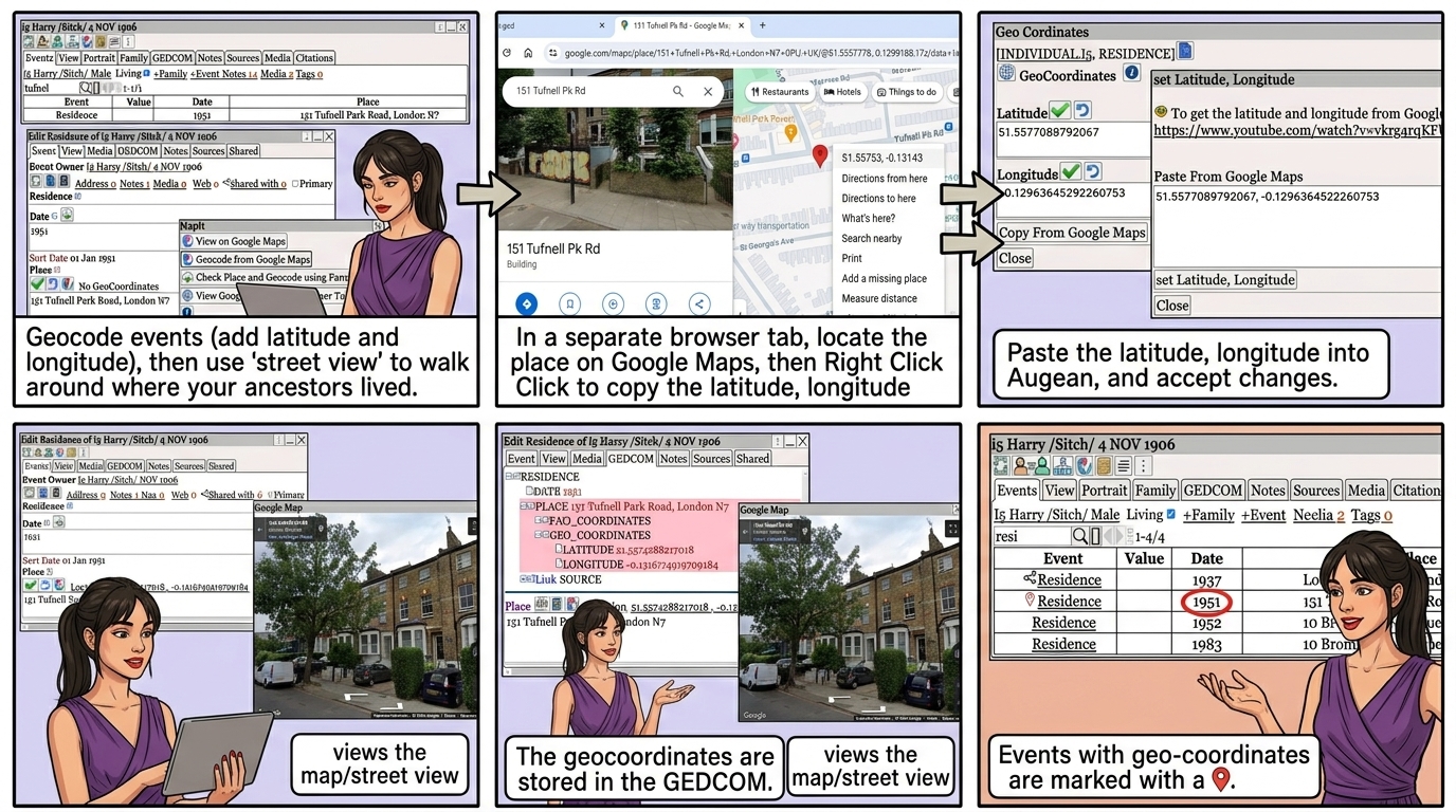
Geocode events (add latitude and longitude), then use 'street view' to walk around where your ancestors lived.
 ⟶  to geocode an event
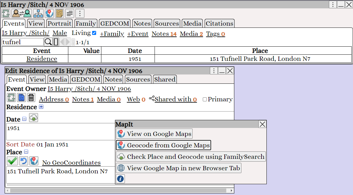
Augean Edit Event pane showing the MapIt menu option to Geocode from Google Maps for precise genealogy location tracking.


In a separate browser tab, locate the place on Google Maps, then Right Click  to copy the latitude, longitude
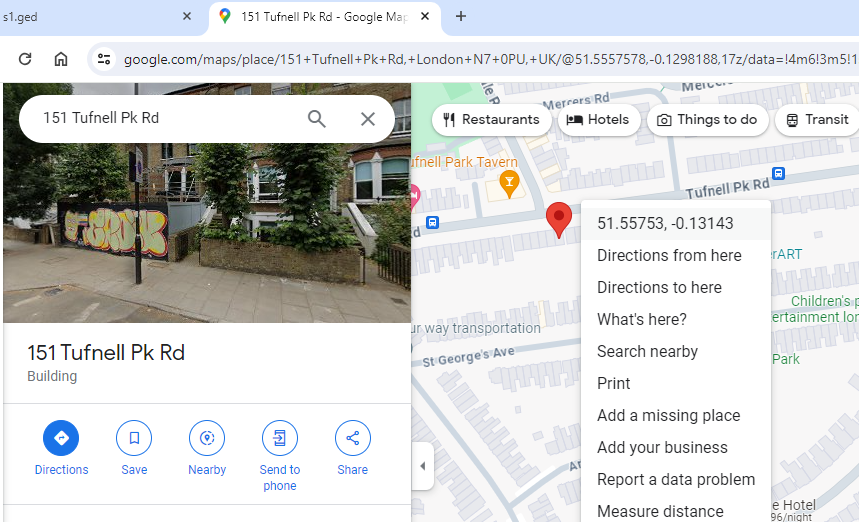
Right-clicking in Google Maps to copy latitude and longitude coordinates for geocoding an ancestor's address in Augean.


 ⟶  ⟶  ⟶ 
Paste the latitude, longitude into Augean, and to accept changes.
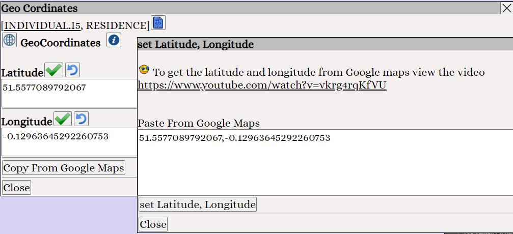
Augean Geo Coordinates dialog box where users paste latitude and longitude from Google Maps to geocode genealogy events.


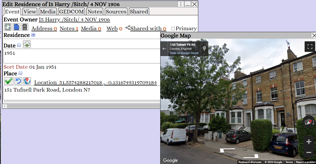
 ⟶  views the map/street view

Augean Edit Event screen showing saved geocoordinates next to an embedded Google Maps Street View of a historical address.


The geocoordinates are stored in the GEDCOM.
 ⟶  views the map/street view
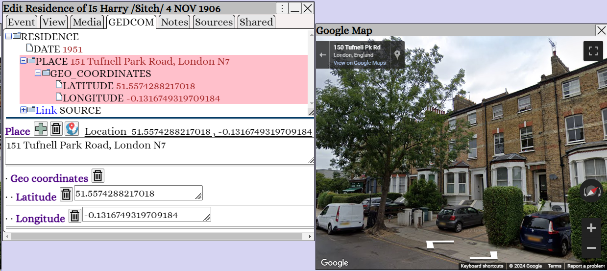
Augean GEDCOM view confirming latitude and longitude data correctly saved under the place record for accurate family history mapping.


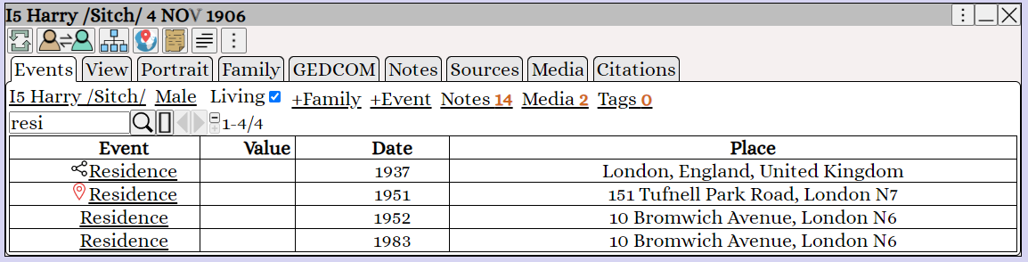
Events with geo-coordinates are marked with a

Augean events list highlighting geocoded genealogy events with a red map pin icon for easy geographic data management.